Why Visit
Hakkari
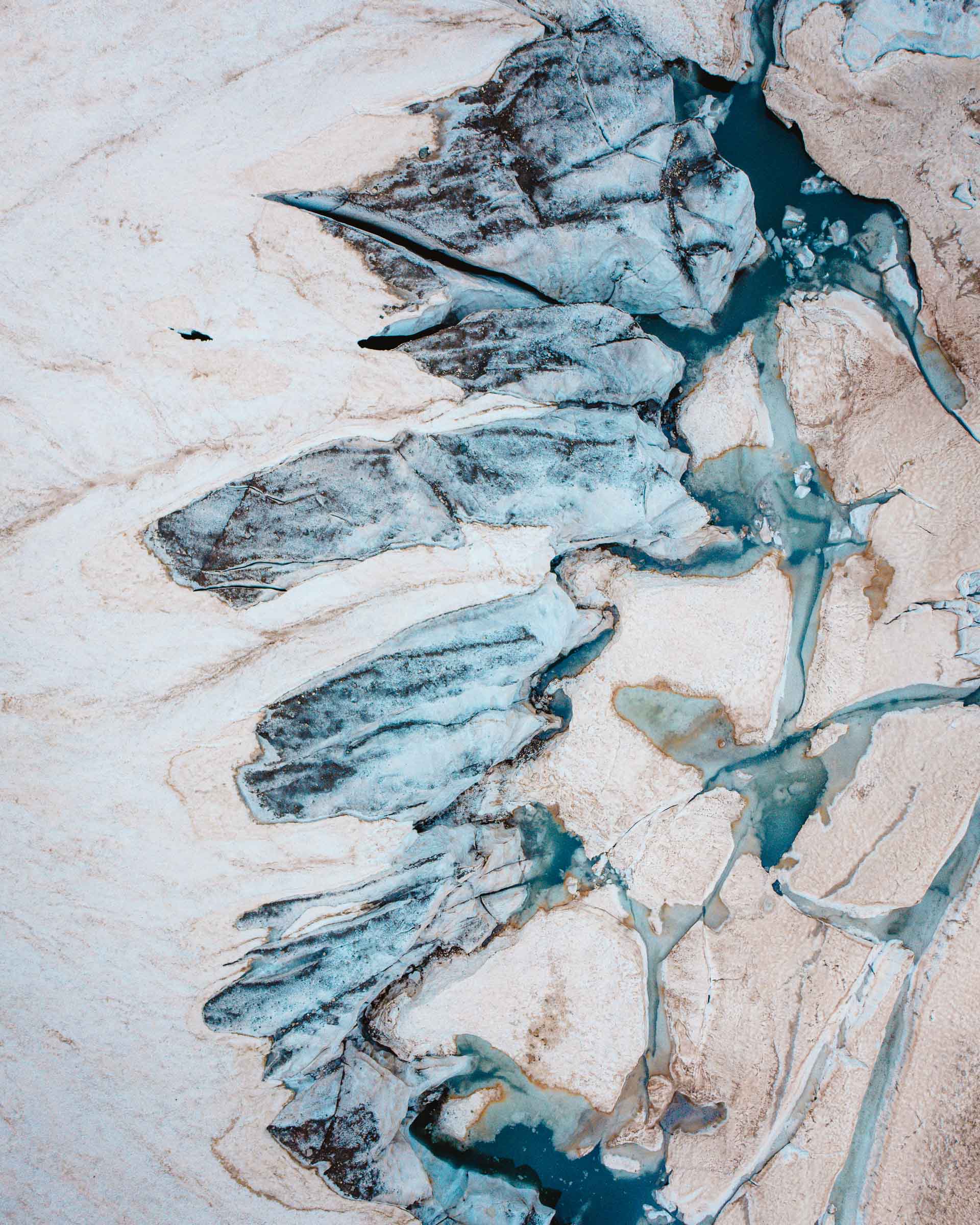
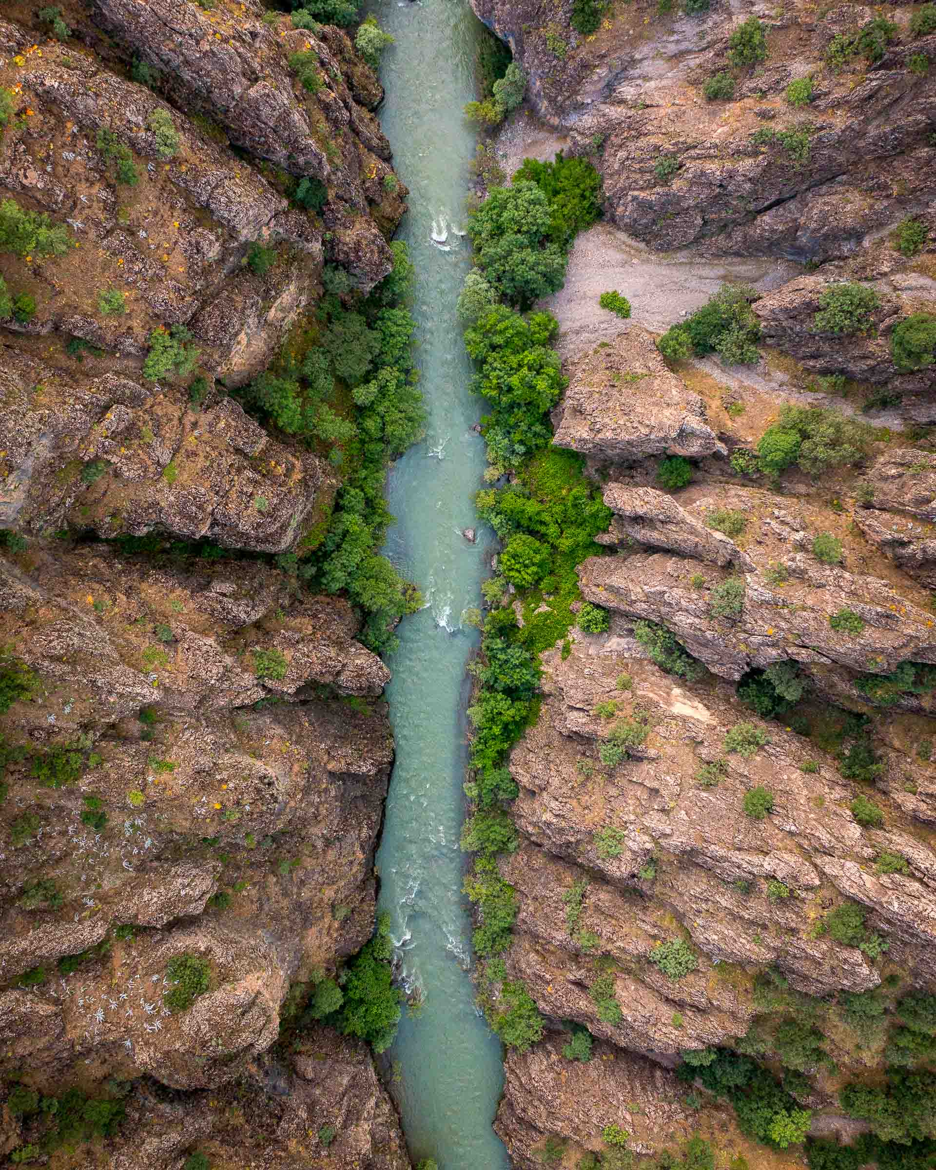
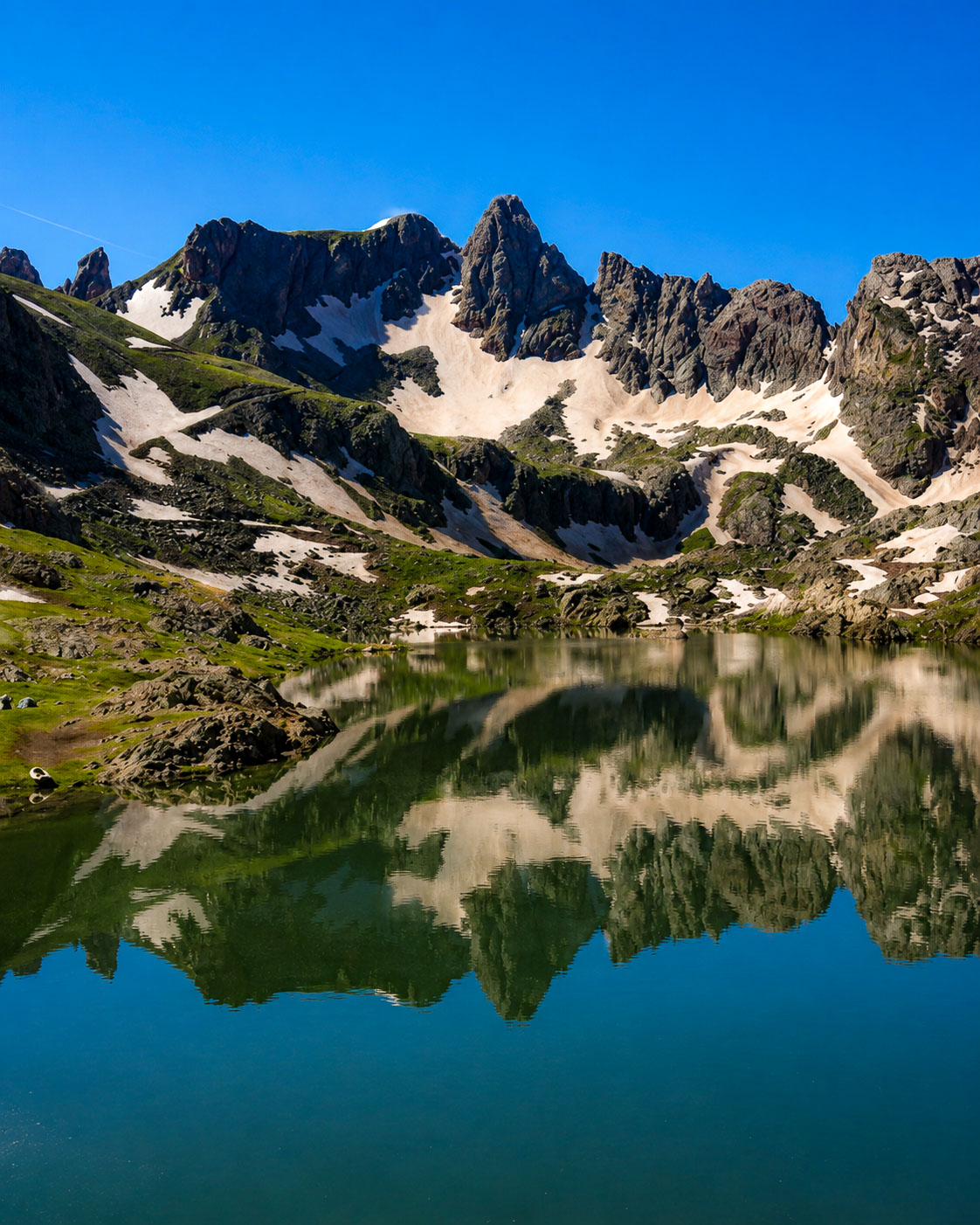
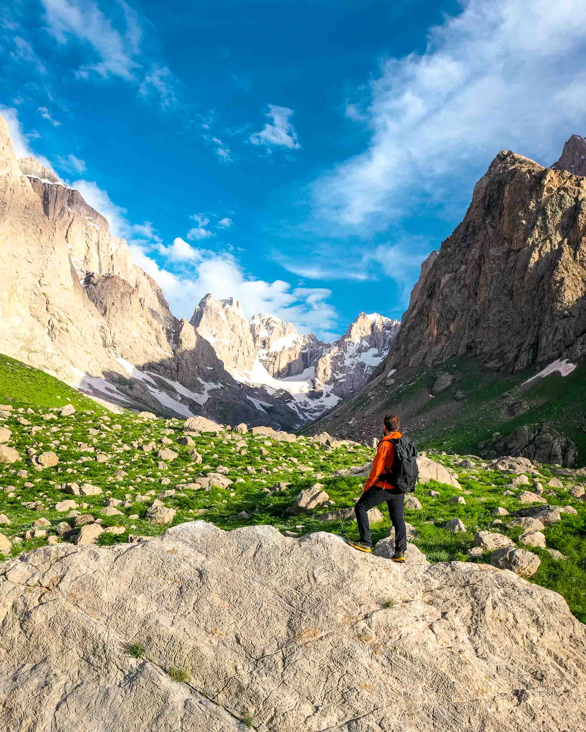
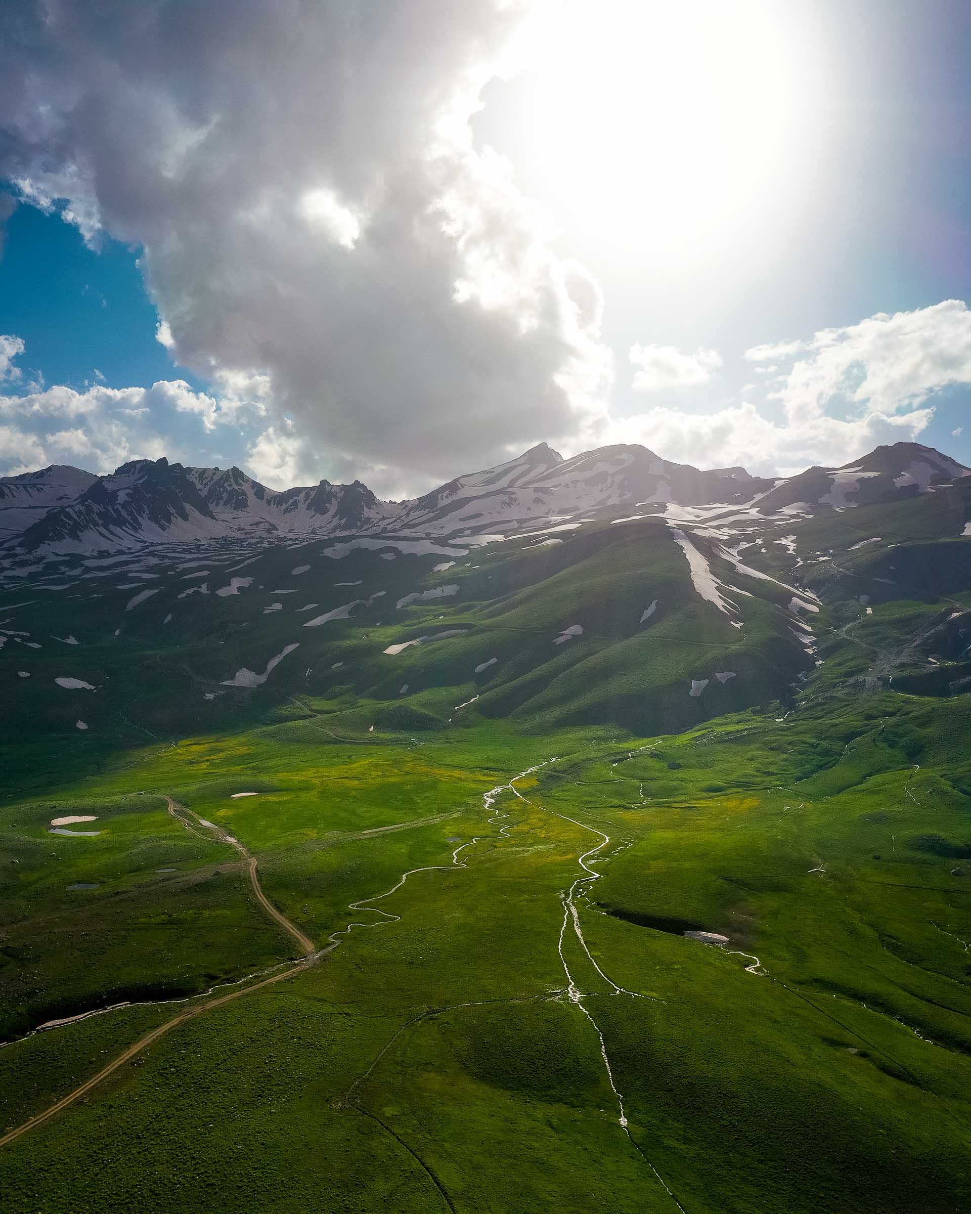
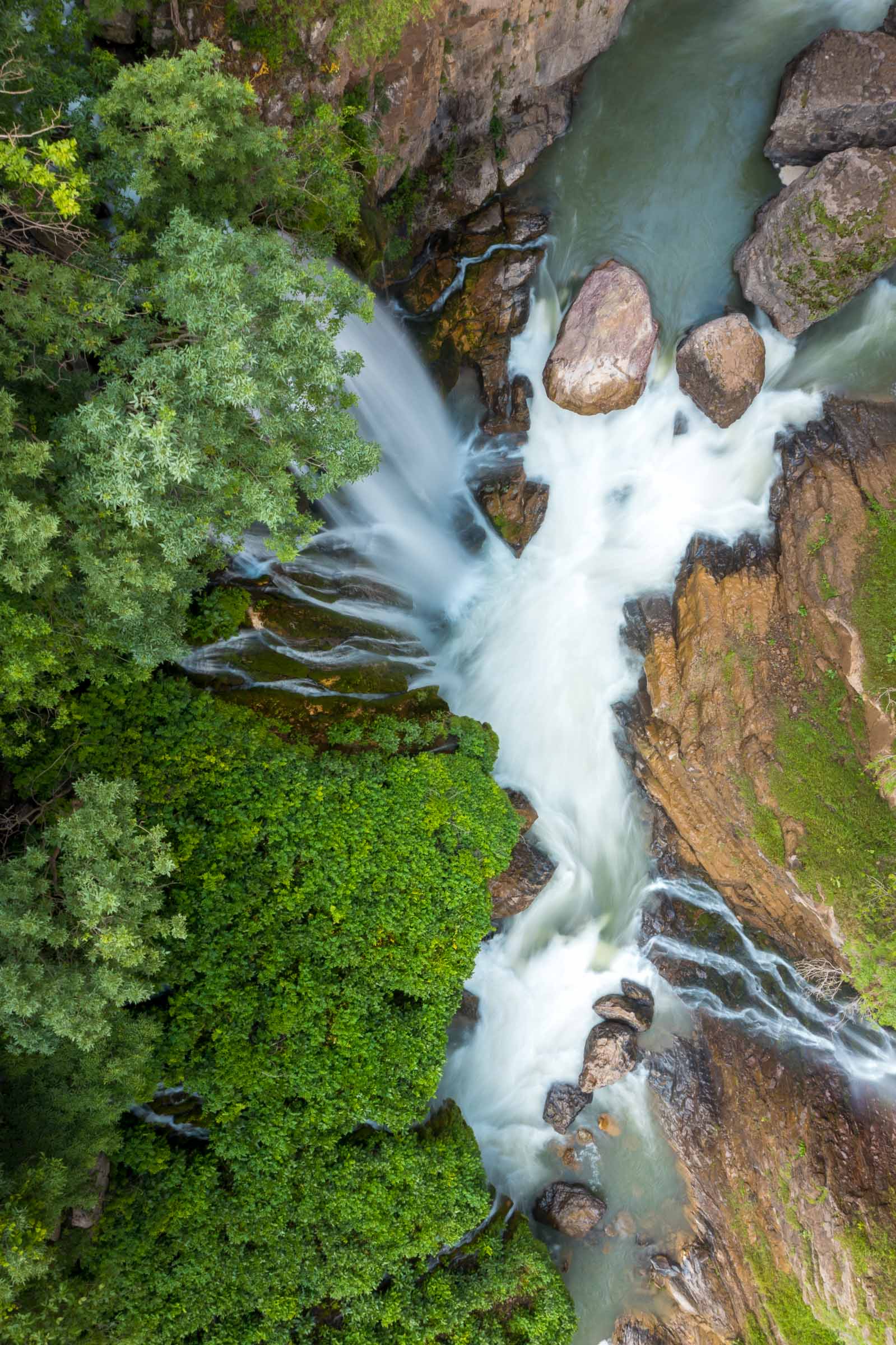
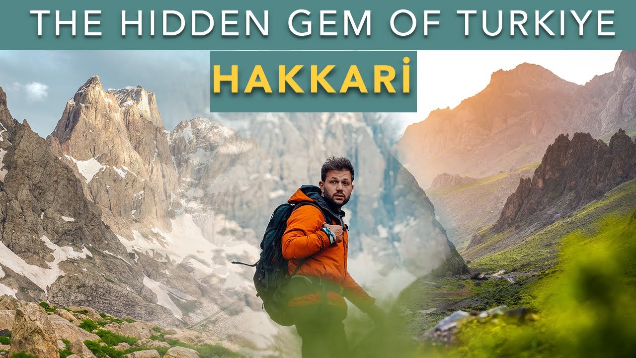
Hakkari sits in the southeastern corner of Turkey where the country borders both Iraq and Iran, in a landscape of vertical rock and deep river valleys that has no equivalent elsewhere in the country. The Cilo and Sat mountain ranges - Turkey's second and third highest massifs after Ararat - rise to over 4,100 metres within 50 kilometres of the city and carry active glaciers, glacial lakes, and an alpine ecology that receives almost no visitors. The Great Zap River canyon runs beneath the city in a gorge of dramatic scale.
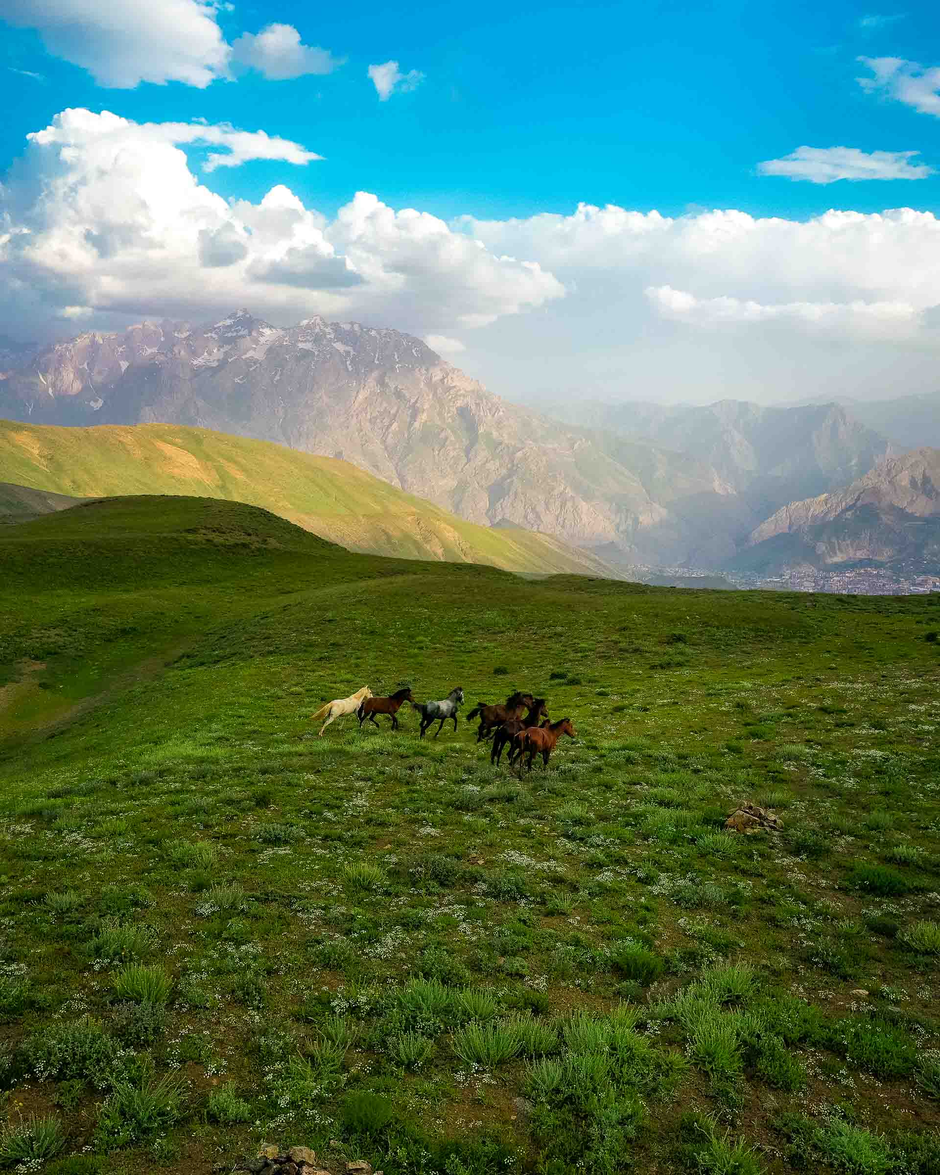
Uludoruk (Reşko Peak, 4,135 m) is Turkey's second highest summit and the highest point of the Southeastern Taurus. The approach through the Serpel and Horgedim plateaus is one of the most beautiful high-altitude landscapes in the country - limestone walls, glacial lakes at 3,000 metres, and a silence that comes from genuine remoteness. The Sat Lakes near Yüksekova can be reached by vehicle and short walk, making them accessible to visitors without mountaineering experience.
Hakkari requires more preparation than other Turkish destinations. Access is by air to Yüksekova (flights from Istanbul via Van), by road from Van (3 hours), or by long-haul bus. The province is predominantly Kurdish and the hospitality of the region - in teahouses, at mountain camps, at the few small hotels in the city - is notable. This is not a place to arrive without a plan. It is also one of the places in Turkey where the physical landscape is genuinely astonishing, and where the effort to reach it is proportionate to what you find.